 (541) 889-5411
Hermiston, OR
(541) 567-2345
(541) 889-5411
Hermiston, OR
(541) 567-2345
(541) 889-5411
Hermiston, OR
(541) 567-2345
(541) 889-5411
Hermiston, OR
(541) 567-2345

Over the years CK3, LLC has taken on many ranch survey projects which are much more
challenging than your typical boundary survey. These types of projects have become a
signature of CK3's. These projects are something that we specialize in and enjoy doing.
Survey projects of this nature require more detailed research, intense fieldwork and
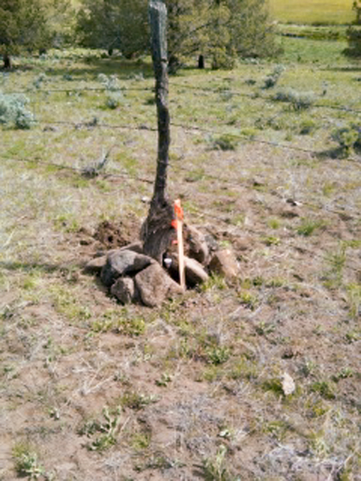
at times require us to visualize ourselves in the shoes of the original surveyor.
Envisioning how they must have gone about their work, gives us the ability to find the
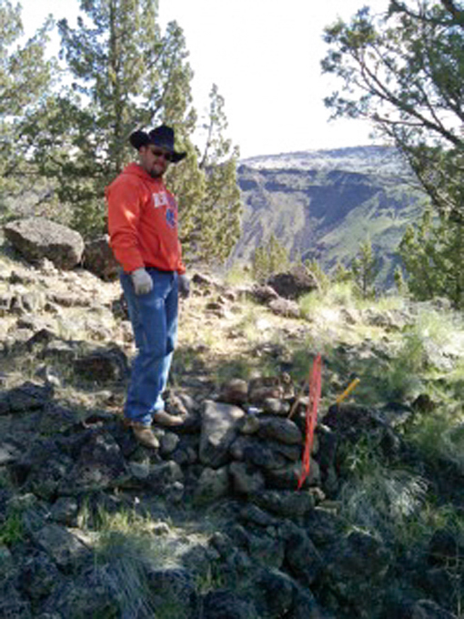
stones, posts, charred stakes, or mound of stones the original surveyor left behind.
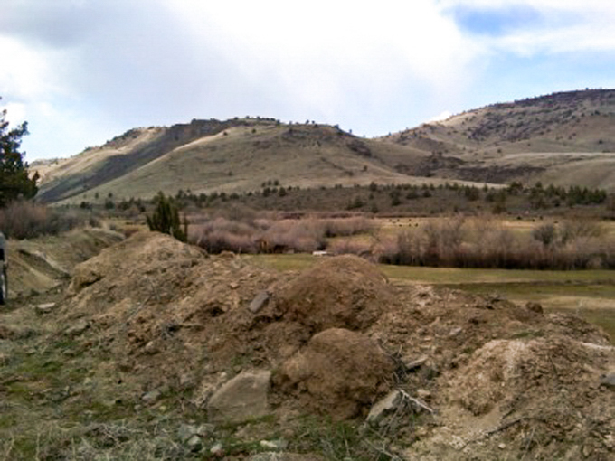
One particular project we had done this summer was in Juntura, Oregon. We received a
call from the White family who needed their ranch surveyed. Their father had recently
passed away and had left the ranch to his surviving family members. The ranch is based
in the furthest west portion of the Juntura Valley, partially in the bottom of the valley
and partially in the mountains. After doing a bit of research we realized that many of
the corner stones we would be searching for would be up in the mountain ranges.
When we start a project like this we usually make an initial visit to the property, meet
with the client, adjoining neighbors and local landowners. This allows us to gain access
to the property and collect additional information from local landowners which is always
helpful. We often discover that the local landowners often know where several of the
corner monuments are and how to access them efficiently. After speaking with the local
landowners, we learned some interesting facts about the late Mr. White. Apparently, he
regularly rode his ranch boundaries, you would see him atop his mule day in and day out.
Right up until the time of his passing. The late Mr. White would have been a very
interesting historian, that more than likely could have told us where every corner was
located on his ranch.
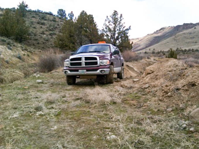
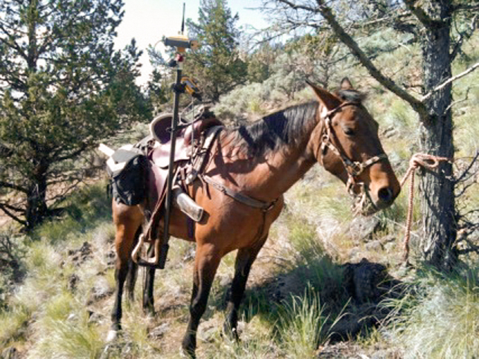
We had set up our GPS control network in the area that we would be working. We collected
any topography data that was needed for the survey and with any leftover time we visited
the least time-consuming corners. Our first couple of trips required traveling around on
the Kawasaki Mule, which is always good for getting us to places the survey truck could
not. There were several places that we found were inaccessible even with the Kawasaki
Mule.
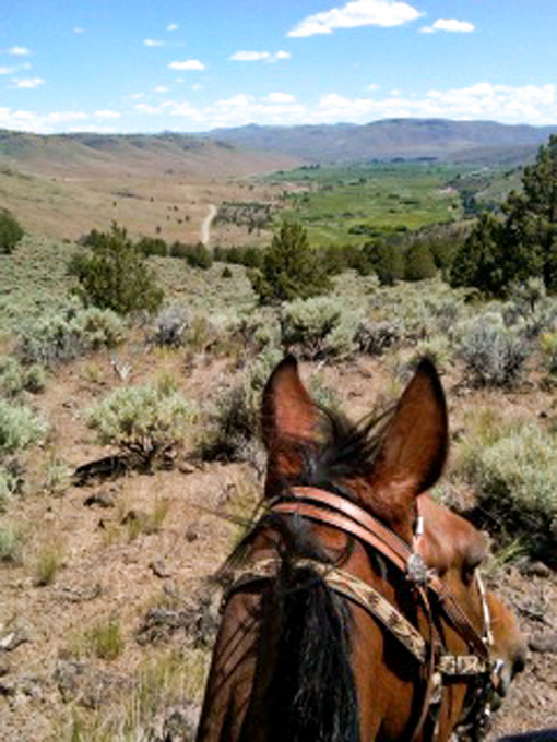
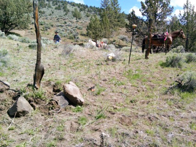
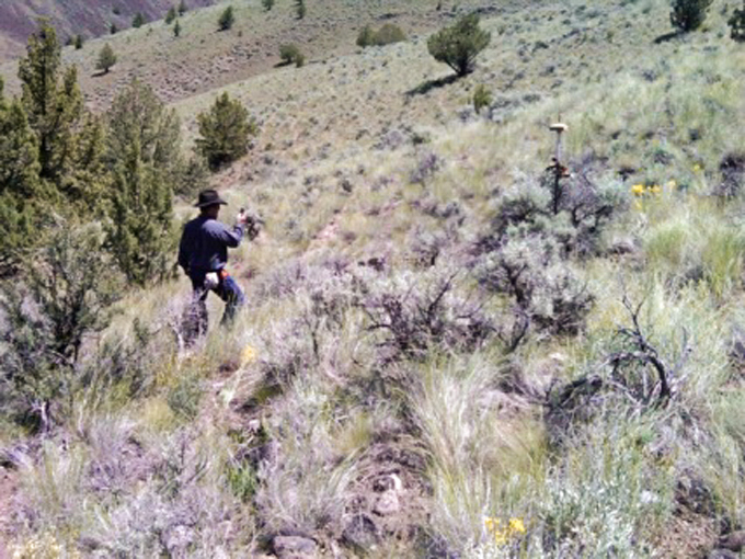
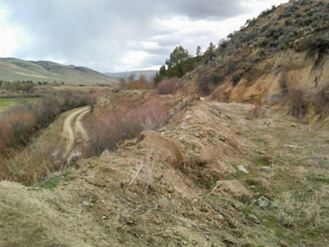
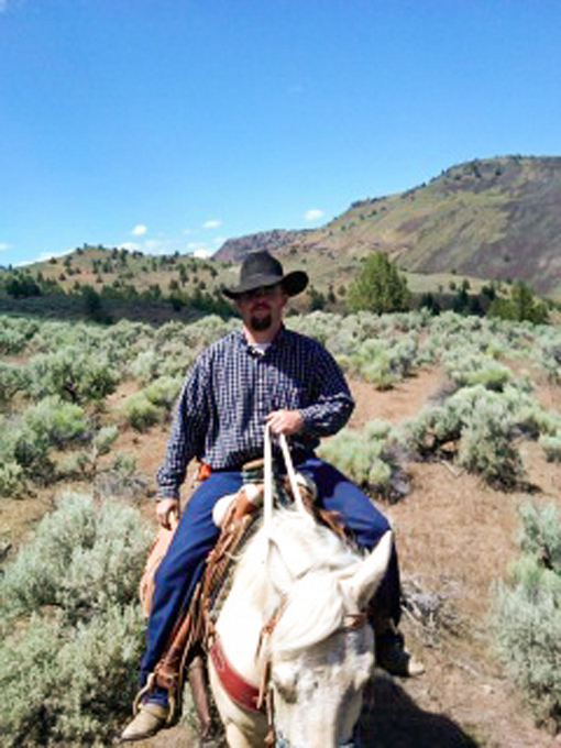
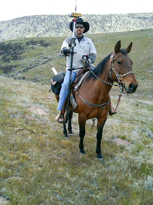
The corners in the mountain areas would normally consist of hiking miles around the
sections, back and forth between corners and can take a considerable amount of time.
We have learned from past jobs and experience, that it is much more efficient using
our horses. This allows us to save the client a substantial amount of money. We have
come to enjoy projects like these that entail the use of horses, making the job less
stressful and utmost enjoyable. Leaving the land undisturbed as much as possible. This
being our way of "treading lightly".
This township was originally surveyed in the spring of 1875 by John W. Meldrum, a much
respected US Deputy Surveyor in Oregon. After some research, we learned a bit of
interesting facts about this particular surveyor, that he eventually became the Clackamas
County Surveyor as well as the county Judge.
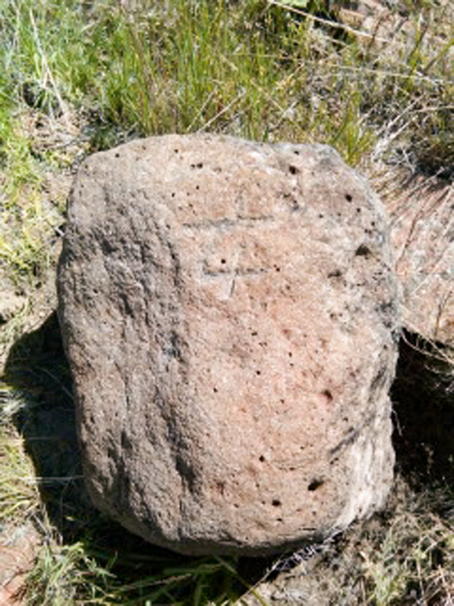
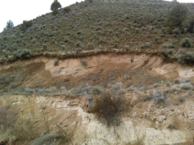
John W. Meldrum had set the standard section corners and quarter corners in this
township, he was also instructed to set the sixteenth corners in the lower portion of
this township. These additional sixteenth corners provided a lot of possible control,
which was helpful when locating other corner monuments and breaking down sections in
this township.
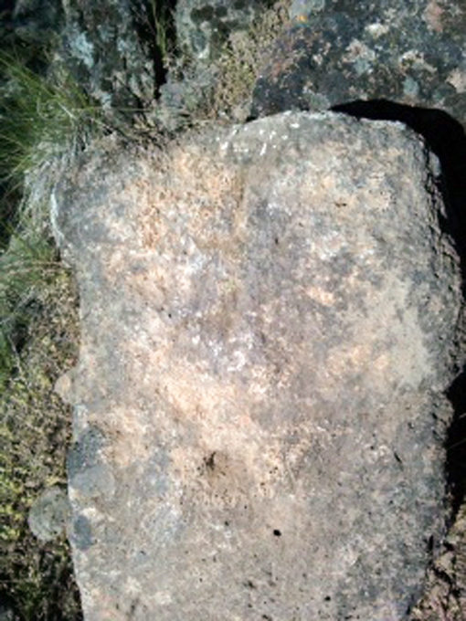
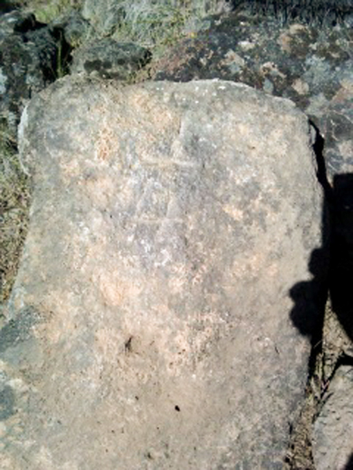
John W. Meldrum was very thorough at his job, most of the stones he set were very
legible and remarkably precise, considering the equipment they used in the 1800s.
When doing these types of surveys you seldom find every corner, but was quite remarkable
how many corners were found when we followed in John W. Meldrum's historical footsteps.
We found more than enough corners to complete this boundary survey. It was an honor to
retrace the boundaries of a surveyor such as John W. Meldrum.
These particular projects have always been one of our company's specialties, we take
great pride in every survey project that we undertake. These particular projects are of
a different nature and take a special skill, knowledge and a willingness to put in the
time, effort, and hard work to make sure that the project is complete, correct and
accurate. These types of projects don't arise very often and not many surveyors get the
chance to do this kind of work. We feel fortunate to have an experienced staff with the
capability to take on projects such as this. Researching the history helped us
become more knowledgeable on how this area was surveyed and get a better understanding
the details and notes from an 1800s survey crew in the early days of Oregon.
Juntura, Oregon